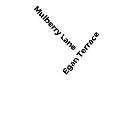
69 EGAN TER
Owner Information
CERRATO PETER A ETUX
69 EGAN TER
DEDHAM, MA 02026


Property Details
69 EGAN TER is classified as a Single Family Residential (Colonial).
The primary structure on this property was built in 1981. There are 3,997ft2 of built area within this property. There is 2,052ft2 of residential/living space within this property. This property is listed as having 7 rooms.
69 EGAN TER is valued at $719,400. The land is valued at $297,600 and the structures are valued at $396,900. There is an additional valuation of $24,900 on this property.
This property is in Zone B. Confirm with local Zoning Board authorities to ensure there are no overlays or other easements on this property.
The most recent deed for 69 EGAN TER is recorded at the local registrar in Book 16243, Page 471. 69 EGAN TER was last sold on Friday, February 15, 2002 for $437,000.
Assessment data from fiscal year 2020.
Flood Data
According to the FEMA National Flood Hazard Layer, this property does not appear to be in a flood zone. It may also be in an area not yet reviewed. Nonetheless, confirm this information prior to taking any action.
To view the flood hazards around this property, create a FEMA "Firmette" Map of the area around 69 EGAN TER.
Broadband Internet Providers
| Provider | Type | Bandwidth (mbps) | |
|---|---|---|---|
| HughesNet | Satellite | 25 | 3 |
| Comcast | Cable | 1000 | 35 |
| RCN | Cable | 1000 | 20 |
| GCI Communication Corp. | Satellite | 0 | 0 |
| RCN | Cable | 500 | 20 |
| Verizon New England Inc. | Fiber | 940 | 880 |
| Verizon New England Inc. | DSL | 5 | 0 |
| Viasat Inc | Satellite | 100 | 3 |
| VSAT Systems, LLC. | Satellite | 2 | 1 |
Broadband service provider data from December 2020.
Adjacent Properties
- 46 EATON RD
Single Family Residential owned by ACCOMANDO MARK J JR ETUX - 301 PINE ST
Two-Family Residential owned by HERNON MICHAEL E ETUX - 18 EATON RD
Single Family Residential owned by ARRUDA EDWARD ETUX - 26 EATON RD
Single Family Residential owned by ANDERSON JENNIFER L - 32 EATON RD
Single Family Residential owned by MCCARTHY THOMAS J - 40 EATON RD
Single Family Residential owned by O'CONNOR MAURICE JR - 63 EGAN TER
Single Family Residential owned by HEALEY SHARON M - 5 NEWBERRY LN
Single Family Residential owned by BARRY STEPHEN ETUX - 60 EGAN TER
Single Family Residential owned by LUKE TUNNEY REV TRUST